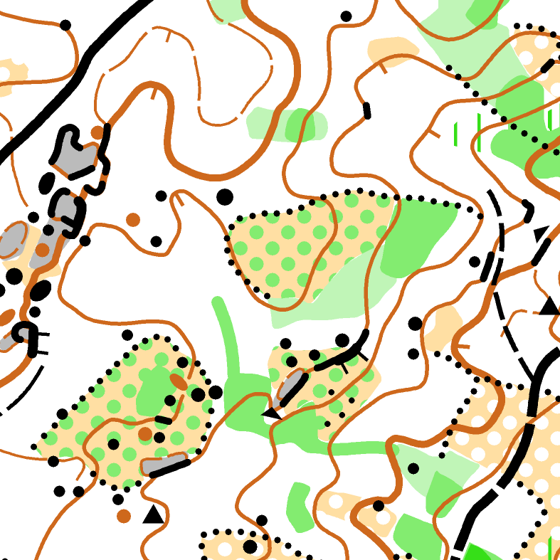
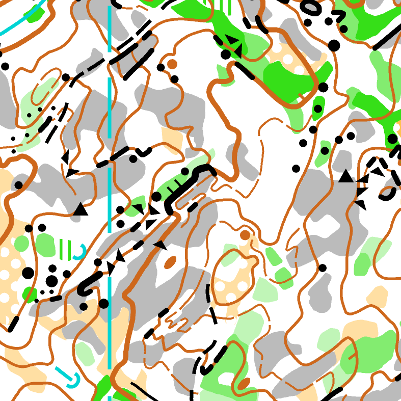
forest
Aguiar da Beira area is located between 600 and 900 meters above sea level. Forest is mostly covered by pine trees (Pinus pinaster). In some areas you can find some deciduous trees, as chestnut trees (Castanea sativa) and oak trees
(Quercus).
The area has moderate to high climb and large areas of bare rock can be found. A lot of rocky details are present in most of the areas, both boulders and cliffs. Please note that bare rock may be slippery - especially in wet conditions. Athletes
are encouraged to take this into account, when they select shoes for the forest distances.
Some undergrowth and dense vegetation can be frequently
found, especially on the deepest valleys. Darker vegetation is typically impassable, consisting mostly of blackberry bushes (Rubus fruticosus). Genista (Genista cinerascens) is also very common in the region. Runnability varies
a lot from place to place. It can be very easy to very difficult.
Forest discipline areas will be mapped by Finish map makers Janne Weckman and Timo Joensuu using the most actual International Specification for Orienteering
Maps. Map scales will be 1:15 000 for Long and 1:10 000 for the other forest disciplines. Contour interval of 5 meters.